• donor
  • bwdb
  • javascript carousel
  • gon

Flood and Riverbank Erosion Risk Management Investment Program (FRERMIP) Project-2

ডাইনামিক মানচিত্র


FREMIP Dynamic Project Map


Click individual map elements (shapes, lines and placemarks) to learn more about the project.
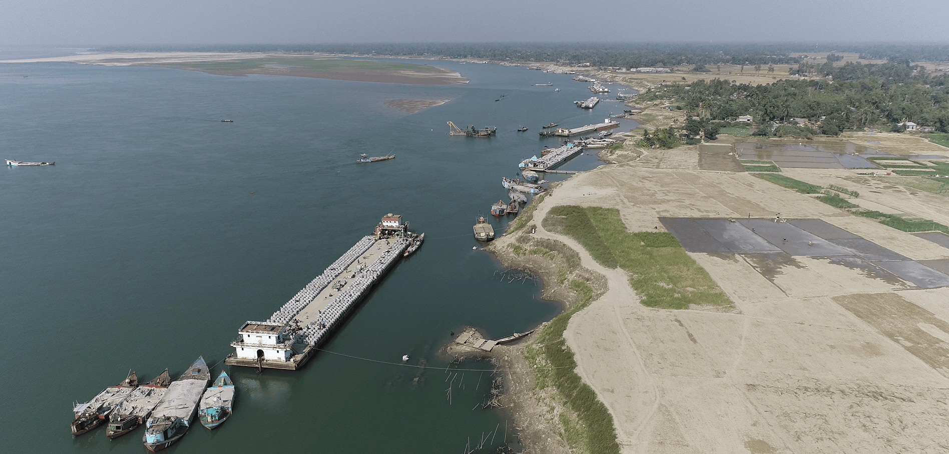
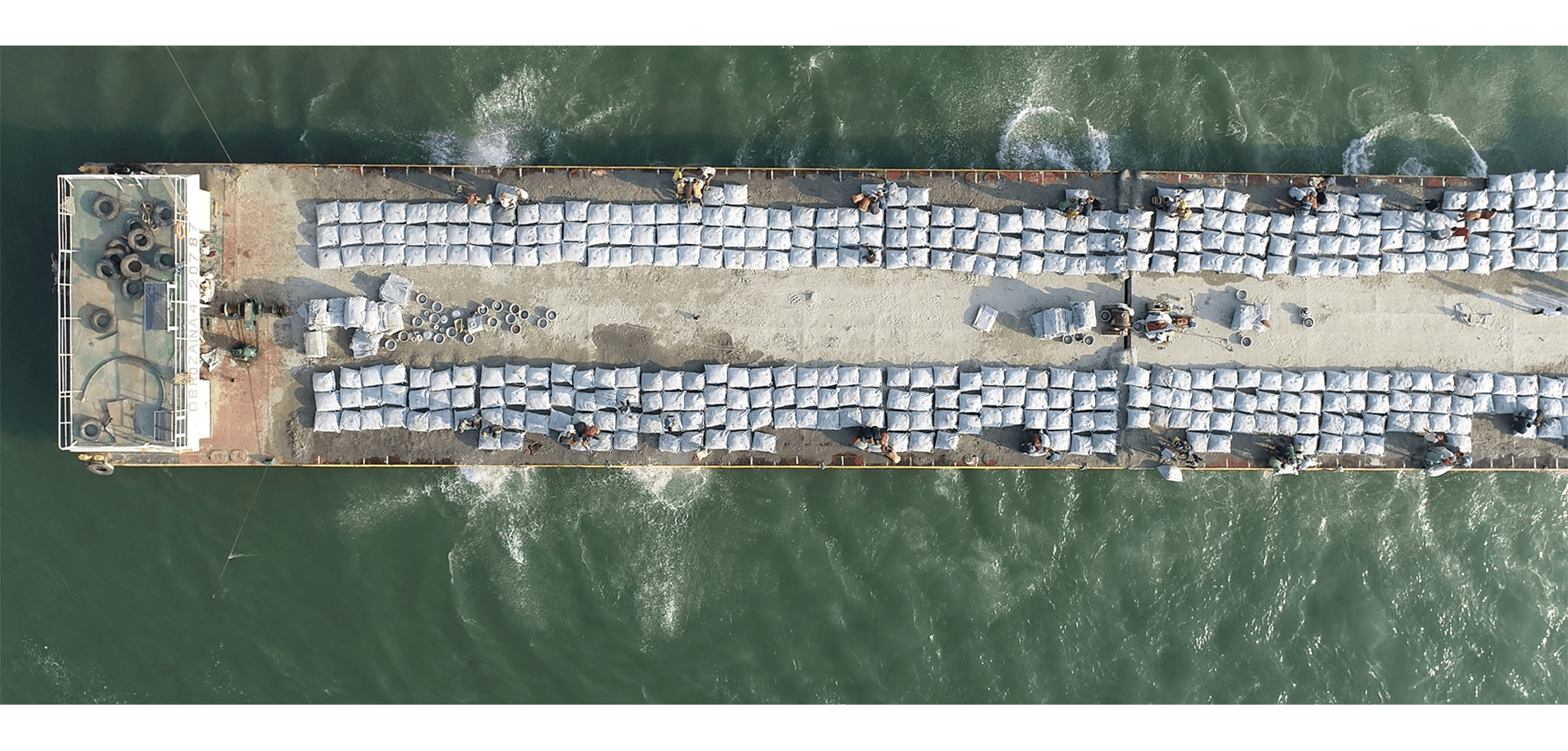
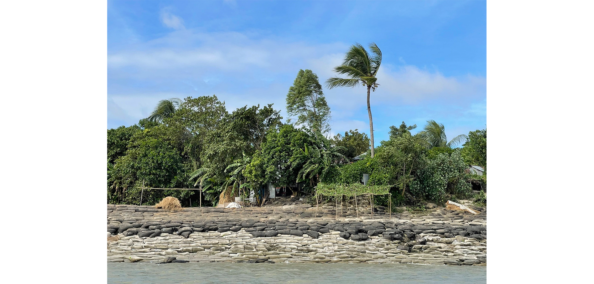

gray Markers FRERMIP Sub-project Boundaries
red Markers FRERMIP Project-1
blue Markers FRERMIP Project-2
orange Markers Other Existing River Management Projects
yellow Markers Other Proposed River Management Projects
black Markers Other Destroyed River Management Projects
purple1 Markers Velocity (ADCP) Surveys
purple2 Markers Float Track Surveys
green1 Markers Bathymetric Site Surveys
green2 Markers Bathymetric River Surveys
white Markers BWDB Water Level Stations


Notes:
The Google Map and Satellite Image do not provide an accurate representation of current topography along the Bangladesh major rivers due to their dynamic nature.